Breaking News Update
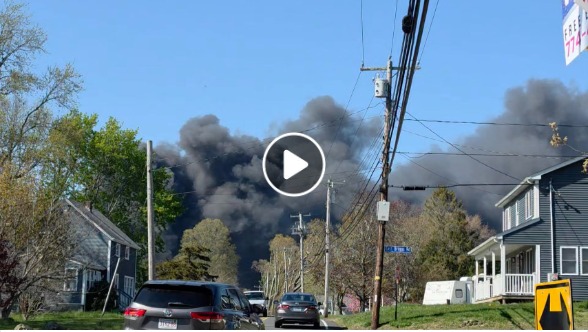
YAVAPAI COUNTY, Ariz. — A fast-moving public safety emergency developed over the holiday weekend as a new brush fire, designated the Mina Fire, ignited along State Route 89 near Yarnell, Arizona. The wildfire quickly scorched an estimated 30 acres, prompting localized mandatory evacuations and forcing the complete closure of a primary regional highway corridor.
The fire surfaced during a high-risk summer fire cycle, causing immediate concern for the mountain community. However, aggressive initial attacks by state and county wildland firefighting assets successfully halted the blaze’s momentum.
Rapid Evacuations and Real-Time “SET” Status Rollbacks
Due to the fire’s close proximity to local subdivisions, the Yavapai County Sheriff’s Office (YCSO) immediately executed strict emergency response protocols.
-
The Initial Threat: Severe Level 3 “GO” mandatory evacuation orders were issued for Zones 2408, 2411, and 2414. The highest-risk zones directly bordered both sides of Highway 89 near Mina Road.
-
The Resolution: Thanks to a rapid containment push from ground crews, state fire officials confirmed that forward progress has been officially stopped on the Mina Fire.
-
Current Status: All previously evacuated “GO” areas have been rolled back to a protective Level 2 “SET” status. Residents are permitted back into their neighborhoods but must remain highly vigilant and ready to pack up if conditions shift.
Official Regional Transit Notice: Arizona State Route 89, which was entirely blockaded in both directions a mile south of Mina Road during the height of the fire containment effort, has been officially reopened to all regular traffic.
Infrastructure Damage and Emergency Shelter Hubs
While the immediate threat to human life has been mitigated, the fast-moving flames did catch up to local property, resulting in the destruction of multiple outbuildings. At this time, no civilian or firefighter injuries have been reported.
Incident Metric         Current Mina Fire Data & Status
----------------------------------------------------------------------------------
Location Baseline       Yarnell, Arizona (Yavapai County) Along Highway 89
Total Estimated Size    30 Acres (Forward progress stopped)
Structural Impact       Multiple outbuildings confirmed destroyed
Evacuation Profile      All zones downgraded from GO to SET status
Human Shelter Site      Model Creek High School (18912 Hays Ranch Rd, Peeples Valley)
Animal Triage Site      LASER at Prescott Valley Fairgrounds (Large animals/horses)
For displaced property owners or anyone needing immediate support, a designated regional shelter remains open at Model Creek High School in nearby Peeples Valley. Large animals and horses displaced by the fire line are being safely triaged by LASER assets at the Prescott Valley Fairgrounds.
National Context: Wildland Firefighter Tributes
The sudden outbreak of the Mina Fire near Yarnell has brought intense emotion to the regional wildland fire community. It comes directly on the heels of a devastating tragedy along the Colorado-Utah border, where three interagency Helitack crew members tragically lost their lives on June 27, 2026, after their unit was overrun by the massive Snyder Fire.
National fire administrators note the tragic parallels between that recent incident and the historic Yarnell Hill Fire. In June 2013, 19 elite members of the Prescott Fire Department’s Granite Mountain Hotshots were lost in a brush-choked canyon just outside Yarnell under a nearly identical severe weather setup. State fire marshals continue to urge extreme caution with all potential outdoor ignition sources as the Southwest region remains under elevated seasonal fire warnings.
yarnell fire today, mina fire arizona, yavapai county sheriff evacuation map, state route 89 road closure, yarnell hill fire anniversary 2026